Last updated on September 30th, 2026.
Finding fishing spots is really two questions stacked on top of each other, and people usually try to answer the wrong one first. The first question is where you can legally fish near you, which is solved with maps, state agency pages, satellite imagery, and a couple of apps. The second is where the fish actually hold within that water once you arrive, which is solved with water reading. Both are solvable. The second one matters more than most beginners realize, because a good angler on a mediocre lake will out-fish a bad angler on a famous river almost every time.
The first half of this is research you do the night before, in a browser tab, with a state regulations PDF open in another. The second half is what you do in the first ten minutes after you park, before you tie anything on. Treat them as a sequence: water selection narrows the universe down to one body of water and one access point, then water reading narrows it down to the rock you cast at.
Finding water near you
Start with your state fish and game agency. Every US state runs an agency under some variant of that name (DNR, Department of Wildlife, Fish and Wildlife Commission, Game and Fish), and every one of them publishes a regularly updated list of public-access waters with stocking schedules, regulations, and species information. This is the highest-signal source you have. Stocking schedules in particular are gold for trout and panfish work, because they tell you when a put-and-take pond just got 500 catchable rainbows dropped into it. The agency site also publishes the boat-launch list, the wading-access list, and the seasonal closures that catch out-of-state anglers every year.
Layer on top of that a public-lands map. The federal patchwork (national forest, BLM, national wildlife refuge, Army Corps reservoir, state forest, state park, wildlife management area) covers an enormous amount of fishable water that does not appear on commercial road maps. OnX Hunt and OnX Fish render this clearly, with property boundaries traced in color over satellite tiles so you can see exactly where the public parcel ends and the posted private land begins. Fishbrain layers user-reported catch logs over the same kind of map and is useful for confirming that water actually fishes, though the spot pins tend to crowd well-known parking areas and miss the productive walks. iFish runs a similar model with regional databases.
Satellite imagery on Google Maps or Google Earth is free and underrated. Drop into the satellite layer over any river or lake in your area and you can see riffles as broken water, bends as darker outside-curve scour, weed lines as olive-green halos, tributary mouths as silt fans, and gravel bars as bright tan patches. USGS topographic maps add the contour layer that tells you how deep the lake gets between the points and where the channel runs in the impoundment. For tidal saltwater the equivalent layer is NOAA bathymetric charts, which mark channels, drop-offs, and structure that the satellite cannot see through the surface.
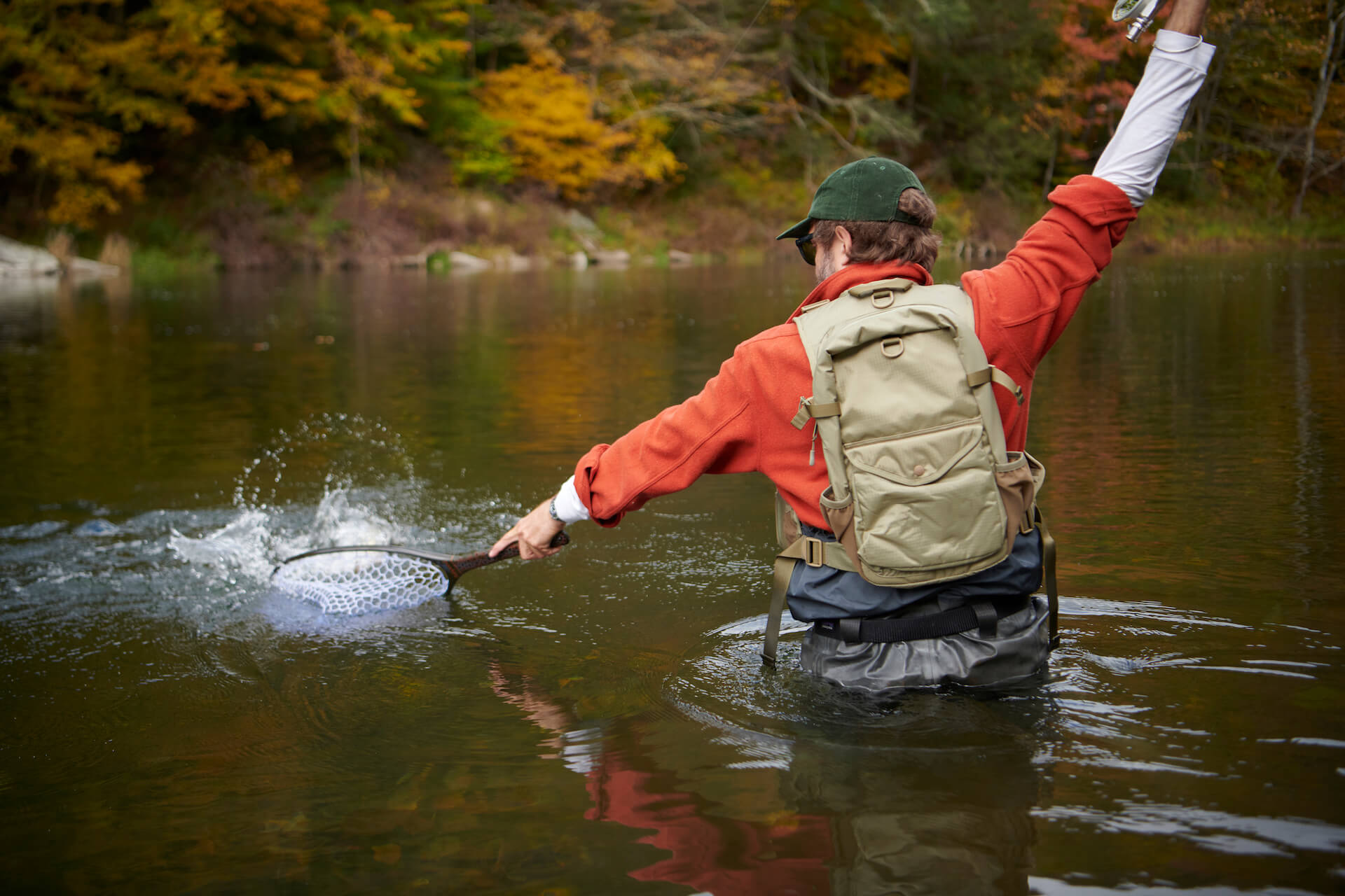
Fishing reports from local fly shops, bait shops, and guide outfits are the next tier. Most shops update a weekly report covering flow, clarity, hatch, and what is working. Reading three or four of these for one watershed gives you more usable intelligence in fifteen minutes than a dozen YouTube videos. Walk into the shop the morning of, buy something, and ask one specific question (which access is fishing best, what stage of the hatch, what tippet are people getting away with). That question costs you twenty dollars in flies and saves you a half-day of trial and error. If you want the deepest local read available, hiring a guide for a half-day is the fastest legal way to learn a new river.
Reading the water once you’re there
There is one universal pattern under everything that follows: fish hold where food, cover, and safe depth intersect. Take any of those three away and the spot empties. The mechanics differ between moving and still water, but the underlying triangle does not.
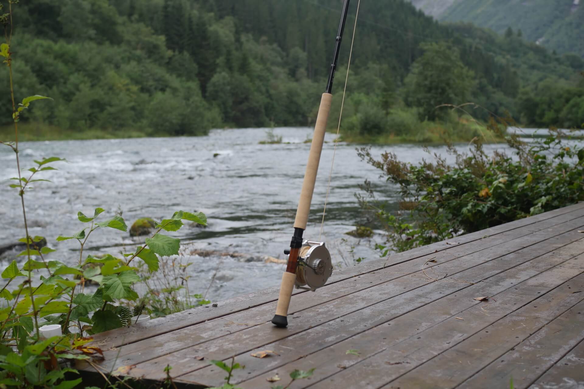
In moving water, the central read is the current seam, the visible line where fast water meets slow water. The fast lane is a conveyor belt delivering insects and disoriented baitfish; the slow lane next to it is where the fish sits, holding station with minimum effort while watching food slide past at arm’s length. Trout especially position by a strict energy ledger, calories in from drift against calories burned holding station, and the seam is where that ledger balances. Stack other features against the seam and the spot gets richer: a foam line marks where everything lighter than water (including spent insects) concentrates on the main thread; an eddy parks slow water behind a current break and pools the drift; an undercut bank roofs a slot of cold water and gives the fish a roof over its head; a drop-off where the riffle dumps into a pool gives the same fish a depth refuge two feet away from its feeding lane. The richest spot on the run is usually the one where two or three of those features overlap. Reading water for river trout leans hardest on these reads, and the same logic carries directly into reading a river for bass, which weights structure and ambush points slightly higher than insect drift. The full river-reading workflow is the same triangle, just expanded.
In still water, you have to import structure where the current does not provide it. Points (where land projects into the lake) concentrate cruising fish because they force migration paths to pinch around the tip. Weed lines, especially the outside edge where vegetation drops into open water, are simultaneously cover, food source (everything from minnows to invertebrates lives in the weeds), and ambush position. Drop-offs (where the bottom shelves from shallow to deep) are travel corridors, hold edges, and depth refuge stacked into one feature. Inflows where a creek enters the lake bring cool oxygenated water, food, and structure all at once, and they fish through summer when the rest of the lake is hot. Offshore, the thermocline is the depth band where the warm surface layer meets the cold deep layer; in summer, most predatory fish hold along this edge because the water is warm enough for metabolism but cool enough to carry dissolved oxygen, and understanding the thermocline is what turns a featureless reservoir into a readable one. Atmospheric conditions edit all of this further; a drop in barometric pressure ahead of a front often shakes a slow lake into a one-hour feeding window that ends as soon as the rain starts.
The variables that filter access
Once you have located water that holds fish, the access stack filters what you can actually do. Private land is the first filter. The American rule is that property lines extend to the streambed in most states, so wading through private land along a stream is trespass even when you entered from a public access; a few western states (notably Montana and New Mexico) recognize a stream-bed easement that lets you wade so long as you stay below the high-water mark. Know your state. Posted signs settle nothing; the rule applies whether or not the bank is signed.
Seasons and regulations are the second filter. Trout streams often close from October through April to protect spawning; bass lakes sometimes close in spring for the same reason; some species (musky, walleye, snook) have slot limits that release every fish under or over a given length. The state agency PDF will list every season, slot, daily bag, and gear restriction for the specific water you are headed to. Read it the day before, not at the boat ramp.
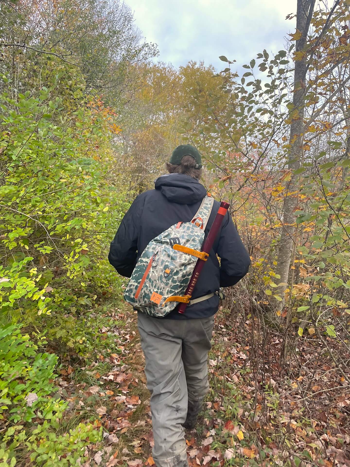
Parking and foot access set the third filter. A public access on a map is meaningless if the listed parking lot fits four cars and you arrived to find ten. Pulling onto a state highway shoulder, climbing a fence, or parking across a gate are all standard ways to lose your gear to a tow truck. The shop-report habit pays off here too, because shop folks know which trailheads got new gates last spring and which ones still walk through.
A boat changes the access math entirely. A canoe, a pedal fishing kayak, or a float tube gets you to the parts of a lake or river that bank walkers cannot reach, which on pressured public water is almost always the parts that still fish well. An inflatable fishing kayak handles flatwater and slow rivers fine and packs down to a backpack-size load, which solves the truck-and-trailer problem for most people. Wading is the cheapest access tool but trades reach for stealth; you can fish water other people drift past, but you can only fish it within a rod-length of where you are standing.
Decision logic, building a Saturday-morning route
The night before, do four things in order. Pick one body of water, not three. Pull up the satellite layer and the topographic layer side by side, and mark two access points on the water you picked, a primary and a backup in case the primary is full. Read the state agency page for that water, write down the season, the limit, and any gear restriction. Read the most recent local shop report and write down flow, clarity, and what is working. This is a ten-minute exercise. The single biggest mistake newer anglers make is to skip it and improvise at the parking lot.
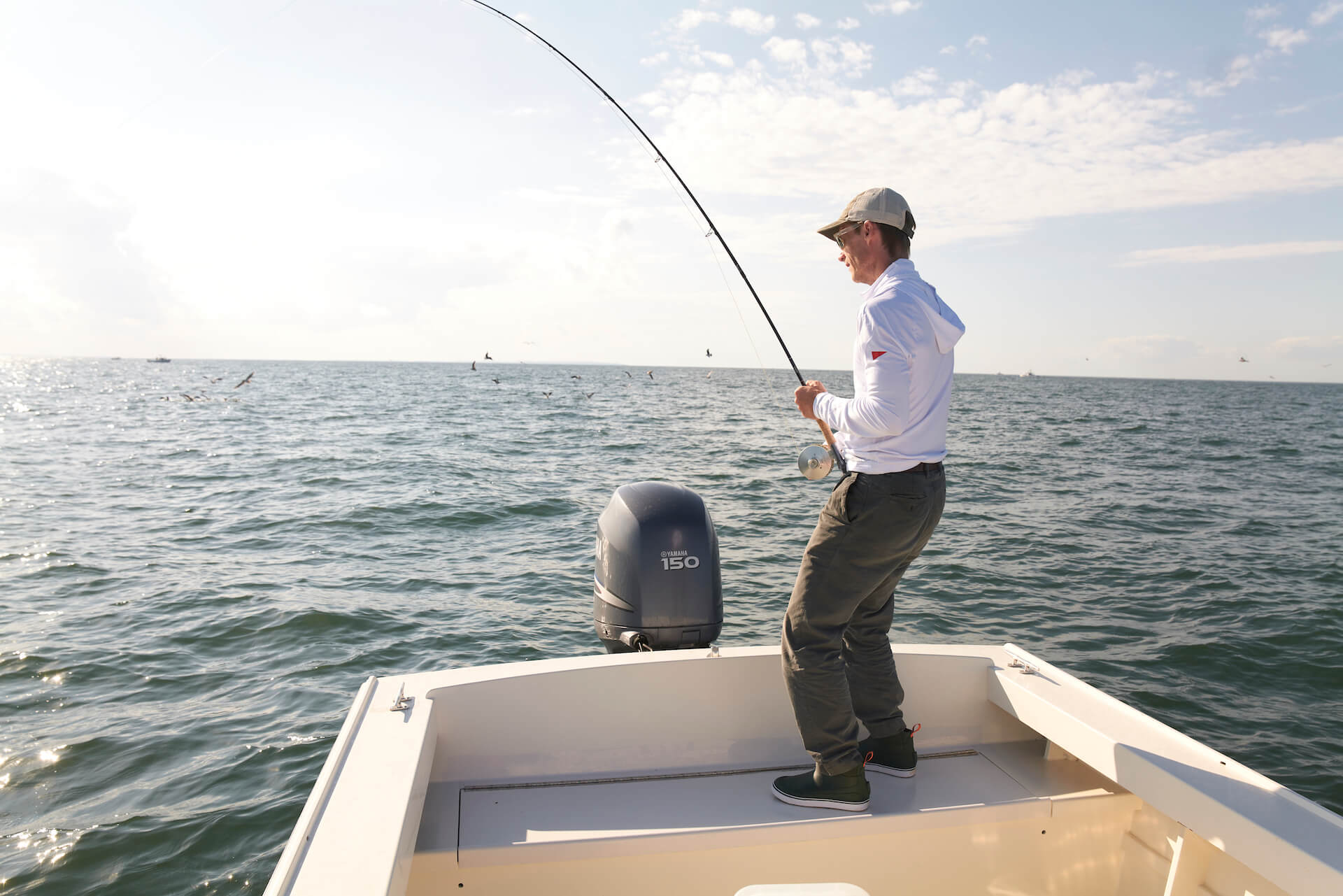
When you arrive, before you tie anything on, walk the bank for ten minutes. Look at the water from above. In moving water, find the seam, then look for the foam line, the eddy, the drop-off, the undercut. In still water, find the point, then look for the weed line, the inflow, the dock. Watch for surface activity (a rise, a swirl, a bait pod scattering) and watch for bird activity (gulls or terns working a point means baitfish pushed to the surface). Decide the first spot before you wade in.
When to move is the last decision and the one most people get wrong. A high-percentage hold that produces nothing in eight to twelve clean presentations is telling you something is off. Change one variable first: depth, fly or lure choice, color. If a second variable does not produce, move. Rivers reward water covered. Lakes reward patience at structure, but only the right structure on the right day. If you walk away from a spot with a clear read on what was wrong (the water was too warm, the wind was killing the cast, the fish were on something you did not have), you got value out of the morning regardless of what hit the net. That is the real difference between a beginner’s catch-fish habit and an experienced one: every blank trip teaches you a variable you can read next time.

Leonard Schoenberger is a fly fishing professional and gear specialist with over 20 years of experience on the water. As the manager of Heidarvatn, a world-class sea trout lodge in Iceland, his product recommendations and tactical advice are tested in some of the most demanding conditions on earth. His expertise has been mentioned in The New York Times, the Financial Times, and at the Outdoor Media Summit.